

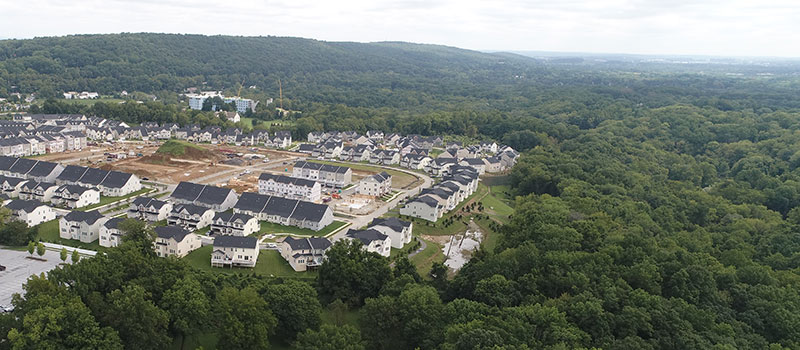
Growth boundaries help guide development and infrastructure to appropriate areas.
How it Works
Growth boundaries are identified in the municipal comprehensive plan and primarily implemented through the municipal zoning ordinance and map. Sewage facilities plans are also an important tool in implementing growth boundaries by determining where more intense development can be accommodated. Municipalities limit the extension of utilities and infrastructure outside the boundary in order to encourage growth within the boundary. In this manner, more-intensive land uses (such as higher-density housing, retail and commercial activities, and industrial uses) are encouraged in areas that can provide utilities and transportation services, while lower-intensity land uses (such as single-family dwellings and particularly agriculture) are encouraged in areas that are to be preserved and do not provide the infrastructure for significant development. Regional planning and coordination enable this tool to be used across a multi-municipal region.

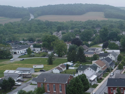
Development pressure on open space and agricultural areas can be reduced by growth boundaries.
Benefits
Limits Sprawl
Growth boundaries promote compact and efficient development.
Efficient Use of Infrastructure
The use of efficient and cost-effective infrastructure can be encouraged.
Reduces Congestion
Growth boundaries reduce the number and length of vehicle trips and encourage alternate means of transportation.
Protects Agricultural Areas
Development pressure on farmland, open space, natural resources, and environmentally-sensitive lands can be reduced.
Protects Existing Communities
Revitalization and reinvestment in developed areas can be encouraged.

The edge of development and preservation areas is better delineated through the use of growth boundaries.
Get Started
The area and dimensions of a growth area should be based on an objective understanding of a municipality's anticipated population growth and development rates for the coming years, based on historic growth patterns, average household size, desired densities, and other criteria. Implementation should take place through a comprehensive planning process, the Sewage Facilities Plan (Act 537 Plan) process, revisions to land use ordinances, specifically the zoning map.
Regulatory changes and incentives such as higher densities should be used to encourage and accommodate growth within the boundary area. Increased protections should also be enacted for rural, agricultural, and environmentally-sensitive lands outside the growth area, such as limiting densities and land uses and adding natural resource protection standards, or implementing a Transfer of Development Rights program. Growth boundaries should be re-examined periodically to ensure that they provide adequate size and flexibility for growth.

Growth boundaries help direct economic development to appropriate areas, such as urban areas.
Considerations
Regional Planning is Most Effective
Growth Boundaries are most effective when implemented on a regional basis, but zoning traditionally is exercised on an individual municipal basis. Pennsylvania laws generally require each municipality to plan for all reasonable land uses, regardless of whether such land uses are appropriate for those individual municipalities. Article VIII-A of the Pennsylvania Municipalities Planning Code allows municipalities to cooperate through joint zoning ordinances and enables the creation of joint municipal comprehensive plans.
Article XI of the Pennsylvania Municipalities Planning Code enables the use of intergovernmental agreements to develop and implement multimunicipal comprehensive plans, making the use of coordinated zoning and shared land uses possible. View the Pennsylvania Municipalities Planning Code.
Requires Addressing Misconceptions
Growth Boundaries are sometimes considered misconstrued to be anti-growth, especially regarding the level of growth permitted outside the boundary.
Examples
Regional approaches to land use planning are practiced in several areas of Chester County. The ability to share land uses on a regional basis would facilitate the implementation of growth boundaries.
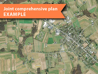
Honey Brook Borough and Township adopted a joint comprehensive plan in 2015, and coordinated zoning ordinances in 2018.
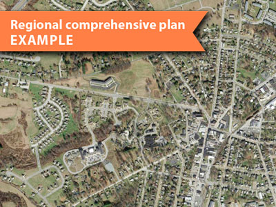
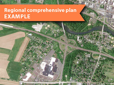
The Oxford Region developed a regional comprehensive plan in 2012.

The Phoenixville Regional Planning Committee helps to direct growth to appropriate areas within the region, and has prepared a regional comprehensive plan.
The Pottstown Metropolitan Regional Comprehensive Planning Committee is one of the largest multi-municipal planning organizations in Pennsylvania. Its regional approach to planning is expressed in the regional comprehensive plan.
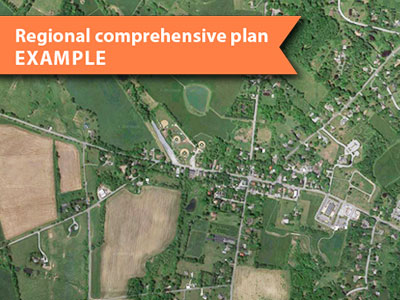
The Unionville Area Regional Comprehensive Plan of 2011 is a joint planning effort to coordinate the preservation of the region's agricultural resources and businesses, protect open space, and to manage growth and development. This approach permits the municipalities to share land uses across municipal boundaries and support the use of growth boundaries on a regional basis. Copies of the plan are available at East Marlborough, West Marlborough, and Newlin Townships.
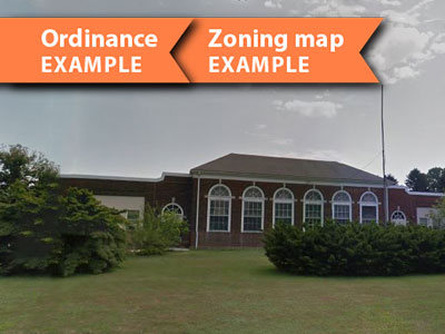
West Fallowfield Township has identified areas where growth should occur and where its agricultural areas should be protected from development in the zoning ordinance and zoning map.