Existing Land Use
Annual Non-residential Construction Report
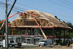
 The Chester County Planning Commission tracks the non-residential construction across the county including total square footage, building type, and location.
- View 2024 report
- View 2023 report
- View 2022 report
- View 2021 report
- View 2020 report
- View 2019 report
Annual Housing Report
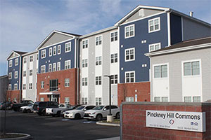
 Each year, the Chester County Planning Commission collects and reports data on housing prices, housing affordability, and new units constructed across Chester County as part of the ongoing implementation of Landscapes3, the county's comprehensive plan.
- View 2024 report NEW!
- View 2023 report
- View 2022 report
- View 2021 report
- View 2020 report
- View 2019 report
Assessed Value Per Acre — 2017
To illustrate tax value on a per acre basis, the Planning Commission created a three-dimensional map of the county. The map indicates concentrations of properties with higher tax values per acre mostly occur in the county's designated centers, which is consistent with the county's vision for efficient growth: vibrant downtowns, main streets, and mix-use centers. Learn more
Land Use Analysis — 2017
Land use is a basic description of the county's physical development. Parcel based data allows for a countywide comparison between past, present, and future uses of Chester County's 759 square miles of land. Current data shows the county is home to a diverse range of uses, including residential, non-residential, and agricultural uses. Balancing these diverse uses is one of the primary issues the County faces. View a summary of land use in the county, general changes over the past twenty years, and major trends.

